13526evély [Hungary] - Historical maps
Related maps

Administrative Maps of Hungary (1914)

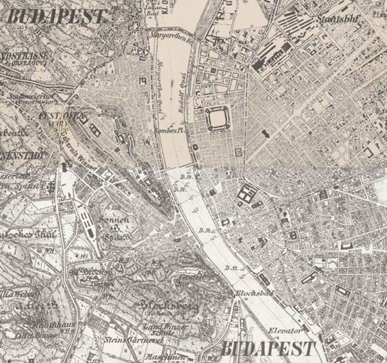
Budapest (1775) • Pest és környékének áttekintő térképe

Europe in the XIX. century

Europe in the XIX. century (with the Third Military Survey)

Europe in the XVIII. century
Habsburg Empire (1869-1887) - Third Military Survey (1:25000)

Habsburg Empire (1869-1887) - Third Military Survey (1:75000)

Habsburg Empire - Cadastral maps (XIX. century)

Hungary (1819–1869) - Second military survey of the Habsburg Empire

Hungary in the 60's - Georeferenced Spy Satellite Photos Mosaic

Königreich Ungarn (1782–1785) - First Military Survey

Magyarország általános térképe (foktérkép) 1910 körül (1:200 000)

Magyarország etnikai térképe - Anyanyelvek 1910 körül (1:200 000)

Magyarország felekezeti térképe - Vallások 1910 körül (1:200 000)

Military Survey of Hungary (1941)

The German language area and settlements of Austria-Hungary (1919)


